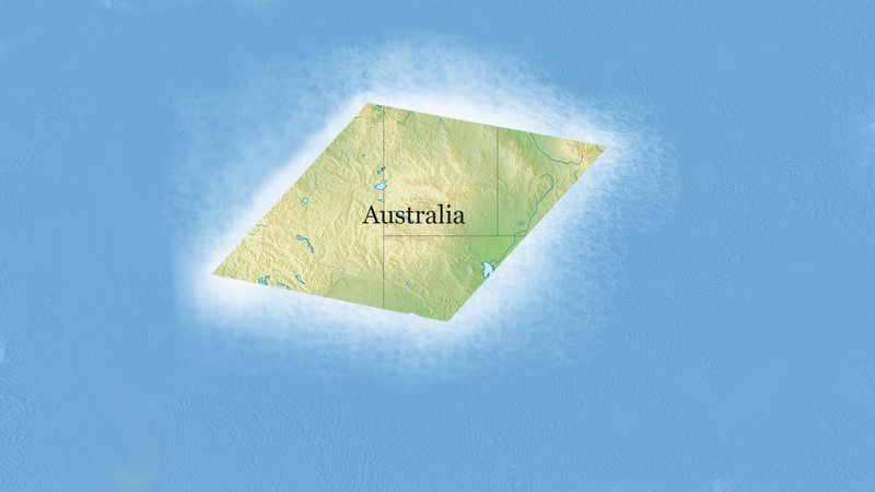
As temperature extremes and dramatic weather events increasingly remind us, the climate is changing, and with very dire effects on the global landscape. But if you’re a cartographer, you’re in for some good news, because rising sea levels are projected to make Australia into a simple, easy-to-draw rhombus by 2045.
Neat!
According to a new study by the National Ocean Service, melting icecaps and glaciers will raise sea levels enough to cause drastic coastal erosion to virtually every landmass on the planet, including Australia, which will transform from its current shapeless continental configuration into a crisp, tightly angled quadrilateral. While this will unquestionably result in an incalculable amount of economic and ecological devastation, it will likely be a welcome change for cartographers, who instead of spending hours trying to perfect the jagged and asymmetrical outline of the Australian coast like they do now, will in the coming decades be able to handily dash off a geographically accurate rendering of the continent in just a few seconds flat.

The National Ocean Service’s study says in no uncertain terms that if mankind doesn’t act soon, rising sea levels will render the world’s coastal regions uninhabitable, displacing hundreds of millions of people and driving crucial wildlife to extinction. But on the plus side, it should be a field day for cartographers, who will save hours upon hours of time drawing Australia every year, freeing them up to pursue outside interests and perhaps even cut out of work a little early now and then.
Australia becoming a rhombus will pretty much be a game changer for anyone in the map-drawing industry, and it’s encouraging to see that there will at least be one upside to the catastrophic destruction of climate change. Get those T squares ready, cartographers, because soon your work will be getting a lot more geometrical!


